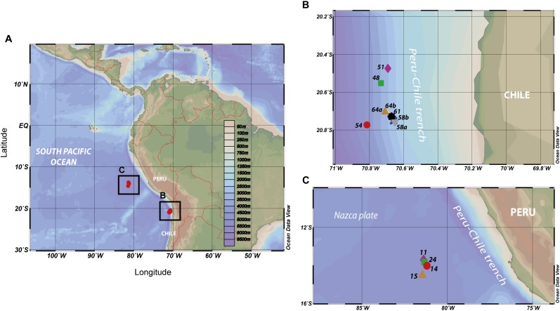
FIGURE 1.
(A) Map of the eastern tropical South Pacific (ETSP) surveyed during the NBP13-0 cruise (June–July 2013) aboard of the R/V Nathaniel B. Palmer, including the location of the stations sampled for SPM by using multiple in situ pumps systems. Sampling locations (B) at the coastal station (i.e., 48; 51; 54; 58a; 58b; 61; 64a; and 64b) and (C) at the open ocean station (i.e., 11; 14; 15; and 24).

