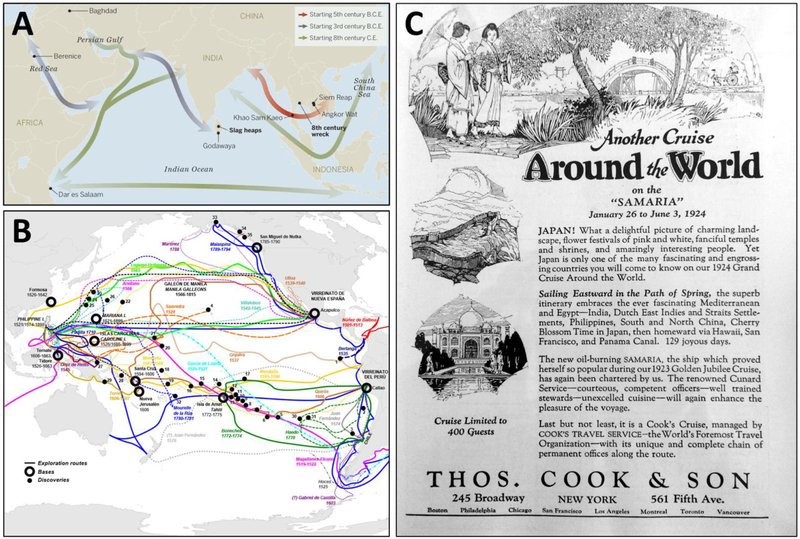
FIGURE 2 |.
(A) Shipping lanes of the “Maritime Silk Road,” starting in the fifth century B.C.E., connected the Red Sea to the South China Sea and beyond. From Lawler (2014); reprinted with permission from AAAS. (B) Spanish expeditionary routes and bases of exploration of the North and South Pacific Oceans over 240 years, touching virtually the entire Pacific rim from 1535 (to the Galapagos Islands) to 1775 (to the Alexander Archipelago, in what is now southeast Alaska). From https://commons.wikimedia.org/wiki/File:SpanishPacific.svg, open use without restriction through Wikimedia Commons (https://creativecommons.org/licenses/by-sa/4.0). (C) An advertisement for “Another cruise around the world” aboard the Samaria from January 26 to June 3, 1924 in “129 joyous days”: New York to the Mediterranean and Egypt through the Suez Canal to India, the Dutch East Indies and Straits Settlements (which included Singapore), Philippines, China, Japan, Hawaii, San Francisco, and then back to New York through the Panama Canal. From National Geographic Magazine 44(3), September 1923.

