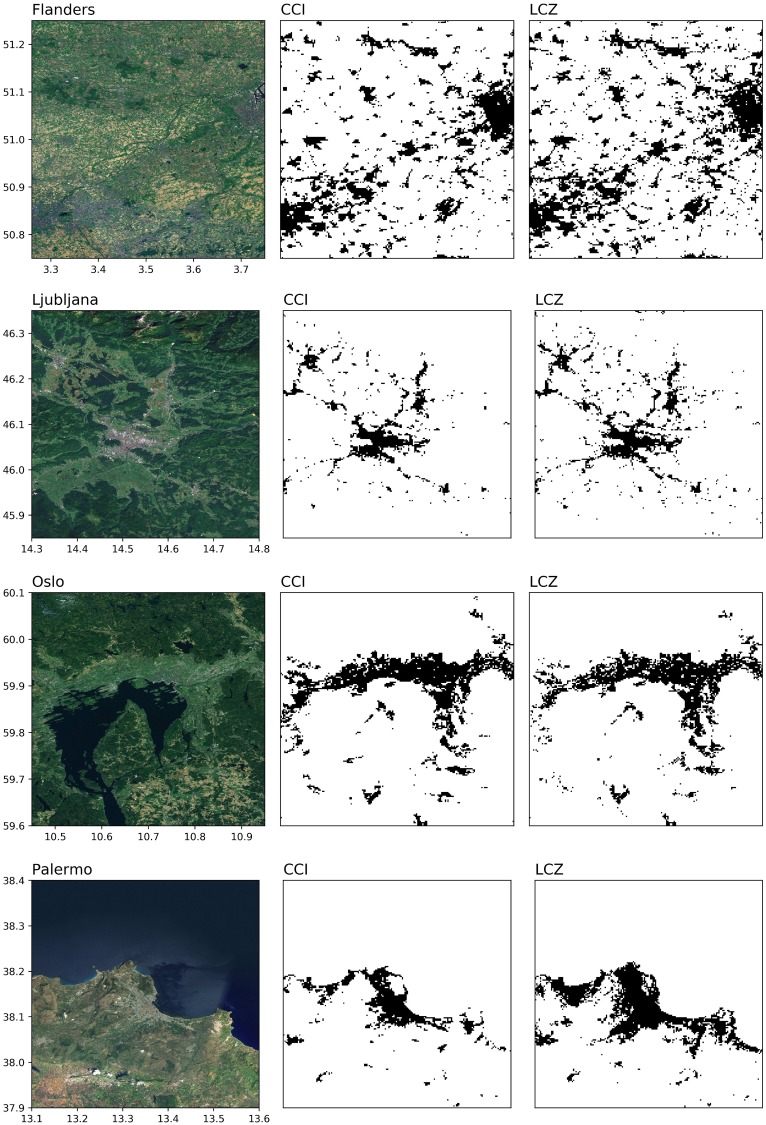
Fig 8. Binary urban maps extracted from ESA CCI and LCZ.
Black refers to urban, white to non-urban. For the LCZs, classes 1-10 with the exception of 9 (Sparsely built) are considered urban. Sources background maps: Esri, DigitalGlobe, Earthstar Geographics, CNES/Airbus DS, GeoEye, USDA FSA, USGS, Aerogrid, IGN, IGP, and the GIS User Community.

