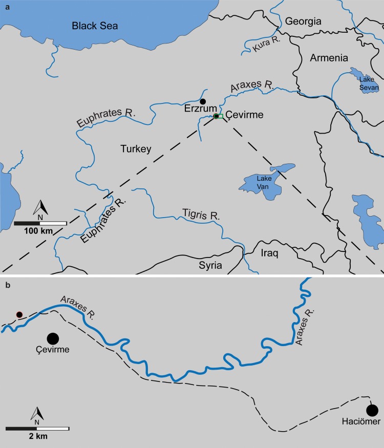
Fig 1. The Armenian Highland.
(a), Fossil locality marked by red contoured circle in a relation to the Euphrates-Tigris and Araxes-Kura water basins. (b), map showing the fossil locality marked by red contoured circle. Map data: Fig 1A and 1B is redrawn and modified from U. S. Geological Survey, CC BY 4.0.

