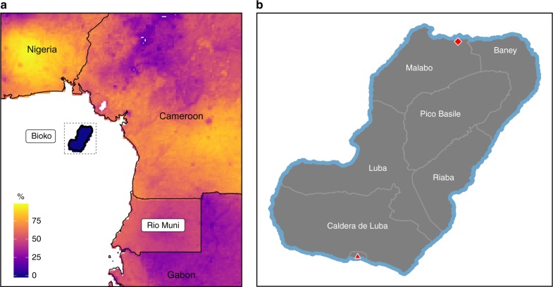
Fig. 1.
Bioko Island and its location in the Gulf of Guinea. a The continental territory of Equatorial Guinea is known as Río Muni. The color scale represents predicted PfPR in children, reconstructed from data produced by the Malaria Atlas Project, which are available for use under the Creative Commons Attribution 3.0 Unported License21,44. b Detail of Bioko Island with its four districts (Malabo, Baney, Riaba and Luba) and two uninhabited nature reserves (Pico Basile National Park, to the North, and Caldera de Luba Scientific Reserve, to the South). The red diamond corresponds to the location of the capital city, Malabo, and the red triangle to that of the isolated town of Ureka, which is part of Luba district

