Figure 3.

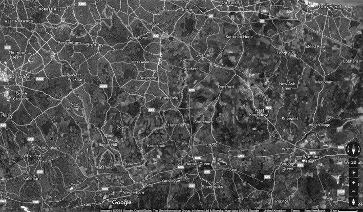
Satellite image of Bromley (90.5% greenspace), Google June 2018. This is not the actual image used to retrieve ward‐level greenspace information and is to be used for illustrative purposes only.

Satellite image of Bromley (90.5% greenspace), Google June 2018. This is not the actual image used to retrieve ward‐level greenspace information and is to be used for illustrative purposes only.