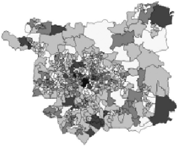
Figure 4.

Map of LSOA boundaries in Leeds. Retrieved from https://census.ukdataservice.ac.uk/use-data/guides/boundary-data, 12th June 2018. This does not represent areas where MCS participants lived and is to be used for illustrative purposes only. Copyright statement: Contains National Statistics data © Crown copyright and database right 2012. Contains Ordnance Survey data © Crown copyright and database right 2012.
