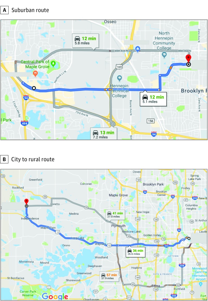
Figure 1. Examples of Use of Google Maps to Estimate Route and Miles Driven.
A, “Suggested route” options identified 3 preferred routes between a suburban place of last drink and the location of the police citation, ranging from 5.1 to 7.2 miles, with approximately 1.2 miles on highway and travel times between 12 and 13 minutes. B, Example of suggested routes for travel from a downtown place of last drink to a rural offense location requiring driving distances that ranged from 26.6 to 37.9 miles, including more than 25 miles of highway travel (using either I-394 and Highway 12 or on Highway 55) or more than 35 miles highway travel (on I-35W, I-494, and Highway 12). To convert miles to kilometers, multiply by 1.6.

