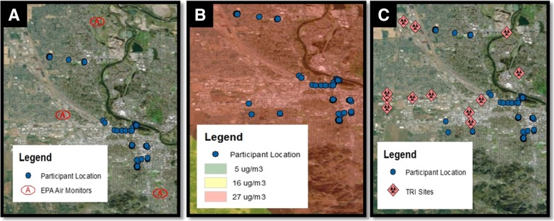
Fig. 4.
Participant location and environmental exposures. Displays the GPS locations of participants (blue dots, n = 4) on August 22, 2015 plotted in relationship to (a) EPA Air Quality Monitors (red outline), (b) wildfire smoke density, measured as a range of low (5 μg/m3) medium (16 μg/m3) or high (17 μg/m3) and (c) TRI sites (red diamond)

