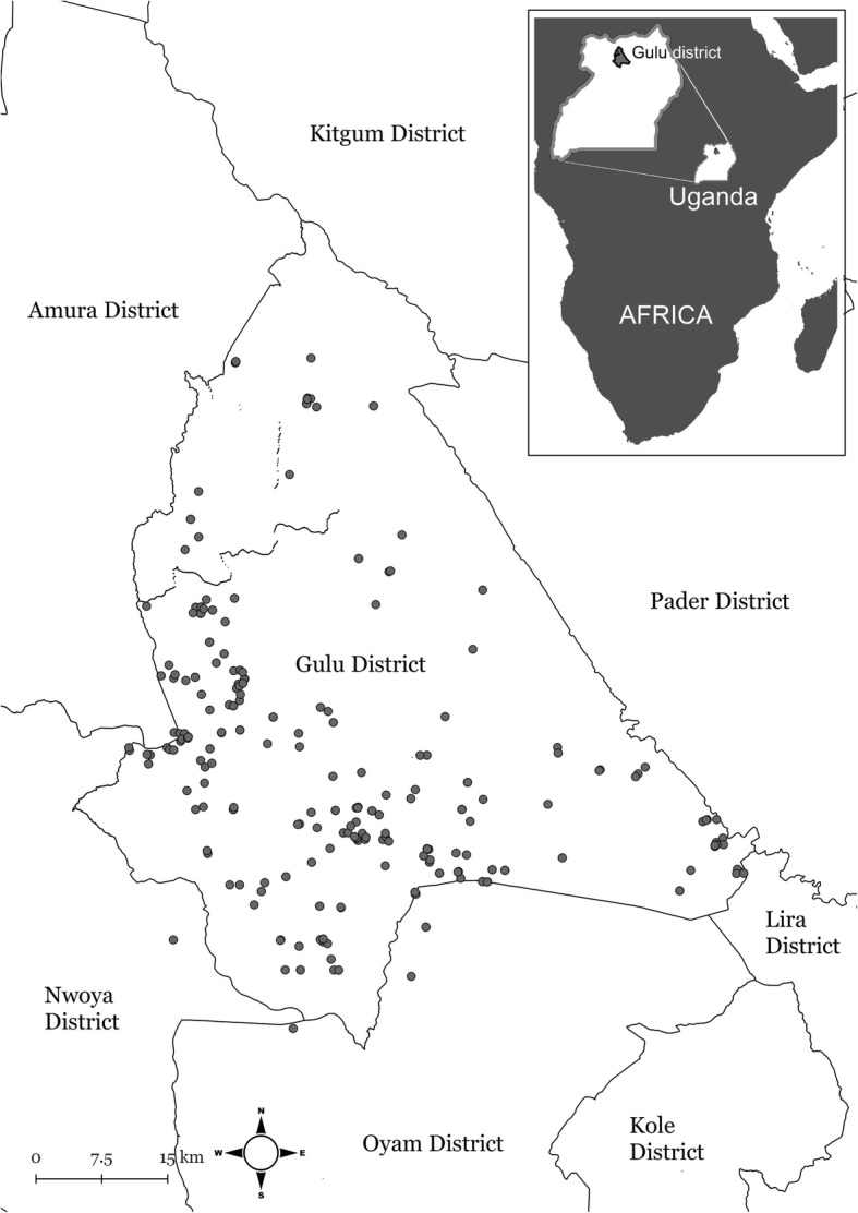
Fig. 2.

Geographical location of households in a longitudinal interview study conducted on household level in northern Uganda between 2014 and 2015. Included households are marked with grey dots. Figure created by Linda Svensson, National Veterinary Institute, Sweden using GADM, a geographic database of global administrative areas (boundaries) licensed under a Creative Commons Attribution-Noncommercial-Share Alike 3.0 United States License. These files were extracted from GADM version 1.0, in March 2009
