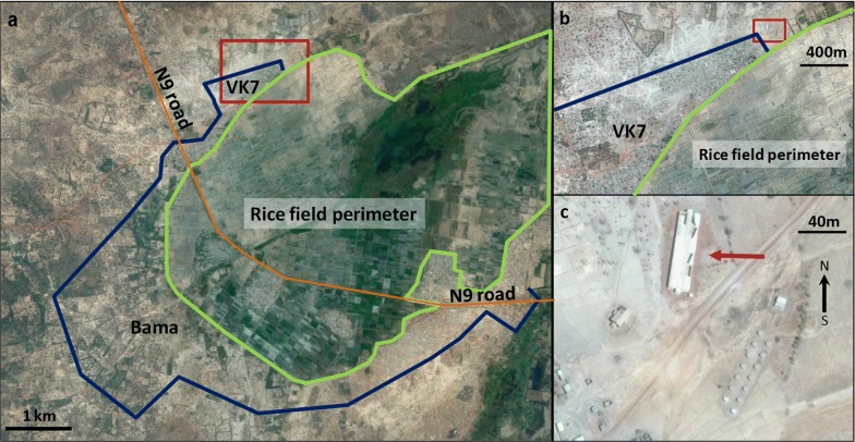
Fig. 1.
Aerial view of Bama area where the field station of the Institut de Recherche en Sciences de la Santé is settled. a Global view with the rice field perimeter (green line), the village limits (blue line) and the district VK7 in which the semi-field setup is located (red square). b Closer view of VK7 area. c View of the field station at VK7 (red arrow: MERF)

