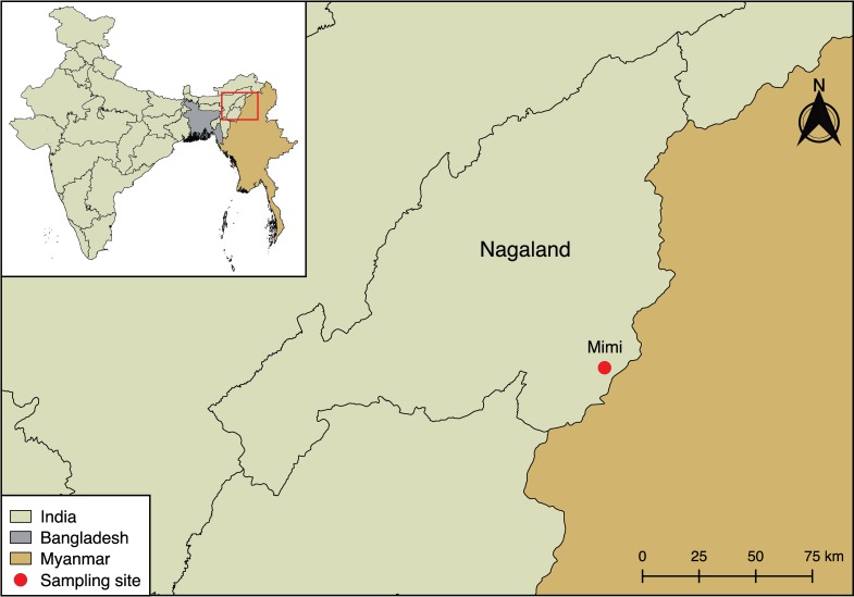
Fig 1. Geographical map of the border region between India and Myanmar.
The Indian state of Nagaland and Mimi village are indicated. The map was created using QGIS v2.18.7 software (https://qgis.org/en/site/). The India shapefile was downloaded from the India Remote Sensing and GIS website (http://www.indianremotesensing.com/) and the Bangladesh and Myanmar shapefiles were downloaded from DIVA-GIS (http://www.diva-gis.org/gdata). All layers were in the geographic coordinate system WGS 84 and all software and map layers used are open access.

