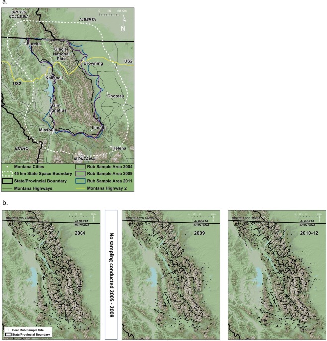
Figure 1.
(a) Northern Continental Divide Ecosystem study area in northwestern Montana, USA where growth rates of an expanding grizzly bear population were estimated during 2004–2012. State-space specified for the spatial capture-recapture models extended 45 km beyond the area where bear rubs were sampled. (b) Locations of naturally-occurring bear rub sites where the grizzly population was sampled by collecting hair for genetic determination of individuals 2004, 2009, 2010–2012. Maps were created from the USGS National Elevation Dataset58 using ArcMap 10.2.

