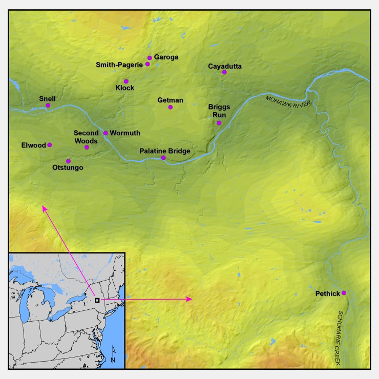
Fig 1. A map showing the Mohawk Valley region in northeast North America and all the sites analyzed in this study.
This map was produced in ArcGIS v 10.6 at the New York State Museum in Albany by compiling GIS shapefiles obtained from publicly available sources including Statistics Canada, the United States Census, and the United States Geological Survey.

