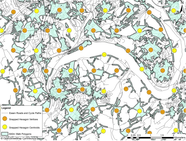
Fig. 2.
Walk polygons with hexagon centroids and vertrices. The figure shows one area of Essen city (Heinz Nixdorf Recall study area). For creating the map, OpenStreetMap data was used. OpenStreetMap® is open data, licensed under the Open Data Commons Open Database License by the OpenStreetMap Foundation. Note to the journal: please use colours for print

