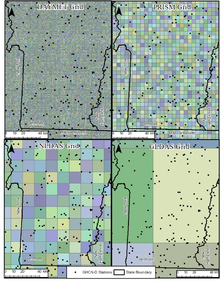
Fig. 2.
Spatial resolution of precipitation datasets used in HMS-PCAT showing DAYMET at 1 km, PRISM at 4 km, NLDAS at 0.125-degree, and GLDAS at 0.25-degree grids in the state of Vermont, USA. NCEI GHCN-D gauge station locations are shown as points. Image based on Golden et al. (2010).

