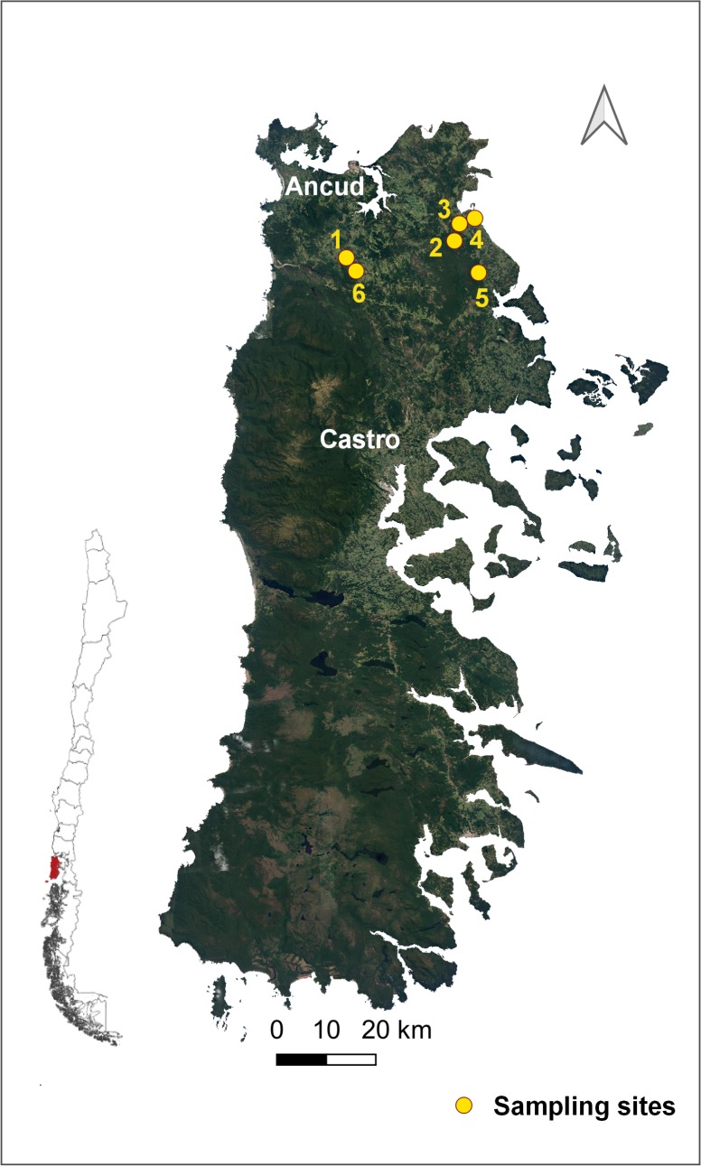
Fig 1. Study area in rural localities of the north-eastern area of Chiloé Island, Los Lagos Region, Chile.
(Map made in QGIS Geographic Information System. Open Source Geospatial Foundation Project. http://qgis.osgeo.org. Shapes downloaded from an open source from the Biblioteca del Congreso Nacional, Available at https://www.bcn.cl/siit/mapas_vectoriales/index_html).

