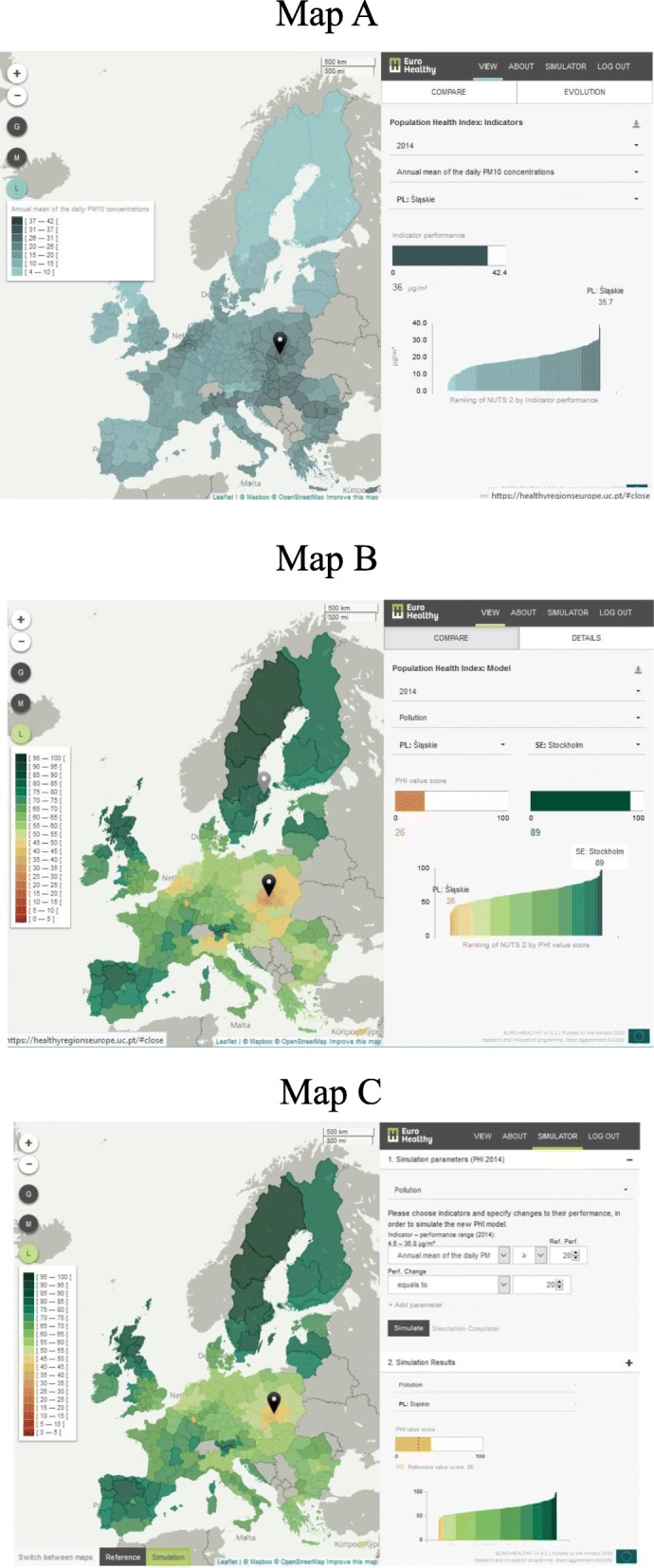
Fig. 3.

Screenshots from the WebGIS healthyregionseurope. Note: Map a shows the tab view for the Population Health Index (PHI) indicators, in terms of performance (illustrative example is presented for the indicator “Annual mean of the daily PM10 concentrations” where the performance of one region – Śląskie, Poland – is shown). Map b shows the tab view for the PHI model, in terms of value-score (illustrative example is presented for the health dimension “Pollution” where the value-scores of two regions – Śląskie, Poland, and Stockholm, Sweden – are being compared). Map c shows the tab for the Simulator (illustrative example is presented for the simulation conducted in the health dimension “Pollution”, where a change of performance on the indicator “Annual mean of the daily PM10 concentrations” generated new value scores; a specific example of value improvement can be seen for the region Śląskie – Poland)
