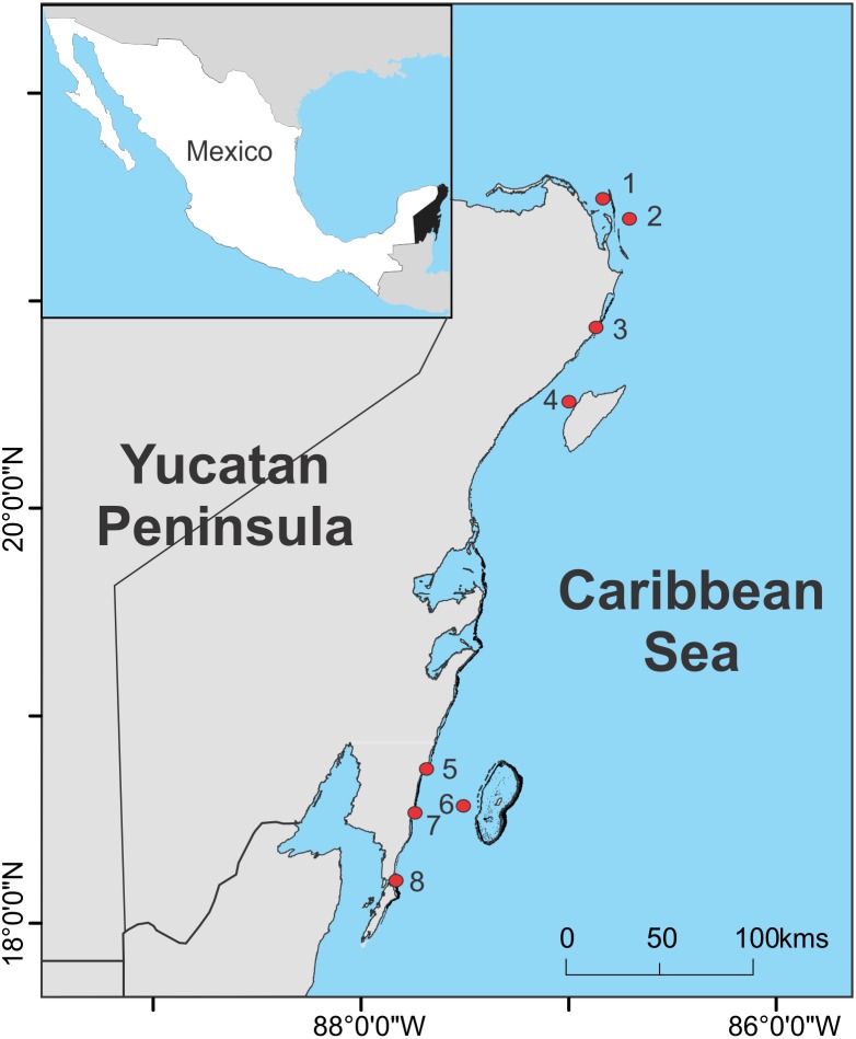
Figure 1. Sampling sites.
Location of the sampling sites of sargasso along the Mexican Caribbean coast between August 2018 and June 2019. Map produced in QGIS 2.18 (http://www.qgis.org) using the following data sources: National Geospatial-Intelligence Agency (base map, World Vector Shoreline Plus, 2004. http://shoreline.noaa.gov/data/datasheets/wvs.html). The location of survey sites was obtained from the present study. Data sources are open access under the Creative Commons License (CC BY 4.0).

