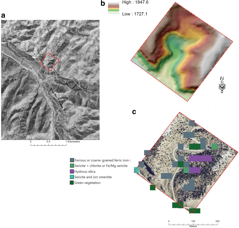
FIG. 2.
Data of field site mimicking orbital data. (a) Visible wavelength, grayscale mosaic, coarsened to 5 m/pixel. CTX resolution. (b) Five meters per pixel DEM overlain on a derived hillshade with illumination from the northwest; high and low in meters. (c) Landsat 7 Thematic Mapper multispectral data simulating CRISM spectroscopic data; color key is to the left of the image. CRISM, Compact Reconnaissance Imaging Spectrometer for Mars; CTX, Context Camera; DEM, digital elevation model. Color images are available online.

