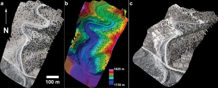
FIG. 3.
(a) Georeferenced image mosaic for the field site at ∼3 cm/pixel, captured by the drone from an elevation of 100 m (with respect to starting point elevation). (b) Colorized elevation for the mapped region as derived from the produced DEM. (c) 3D view of the site. 3D, three-dimensional. Color images are available online.

