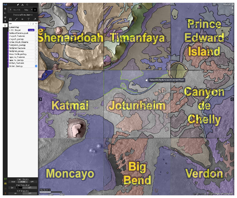
Fig. 4.
The CAMP tool developed by Calef and Soliman (2019) and used by the Mars 2020 Science Team to construct the photogeologic map. 1.2 by 1.2 km quadrangles were displayed in CAMP and assigned to individual team members who mapped units within the tool. Mapped geologic units shown are the raw, uncorrelated boundaries by mapping quad

