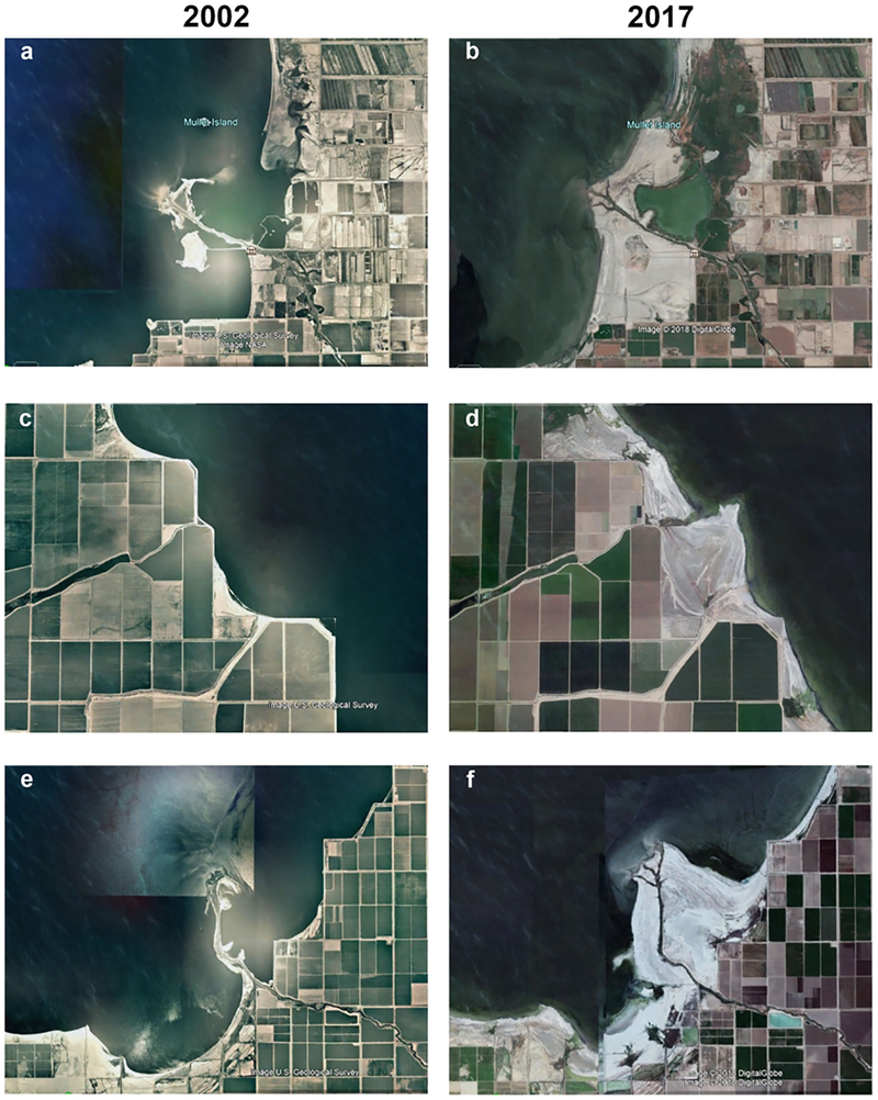
Figure 2.
Images of three sites located on southern shore of Salton Sea, in 2002 (left panels, a, c, and e) and in 2017 (right panels b, d, and f). Aerial images were obtained using Google Earth and show differences in location of shoreline in relation to farm fields and exposure of lakebed playa over time.

