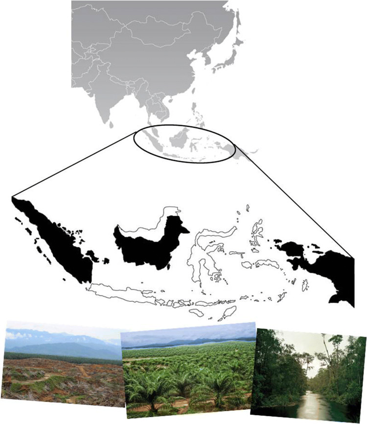
Fig. 1.
Geographic location of the case-study area. Indonesia (top map) and the social–ecological system modelled representing the provinces of Sumatra, Kalimantan, and Papua (in black, bottom map). Photographs on the bottom show national examples of degraded land (left), oil palm plantations (centre), and protected primary swamp forest (right). Photo (left): Originally appeared in the Jakarta Globe newspaper (Indonesia), and then was reprinted by Mongabay news platform with the permission of the author (Degraded Land). Photo (middle): Plantations International company (Palm Oil). Photo (right): Photo taken by Olaf Otto Becker in South Kalimantan, Indonesian, in March 2012 (Primary Swamp Forest). Published in ClampArt website

