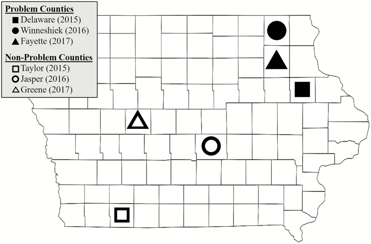
Fig. 1.
Map of Iowa, United States showing location of counties used in the study. Open shapes represent non-problem counties, while closed shapes represent problem counties. Fields in each county were assessed for abundance of western corn rootworm, root injury to corn, and resistance to Cry3Bb1 corn.

