
Fig. 1.
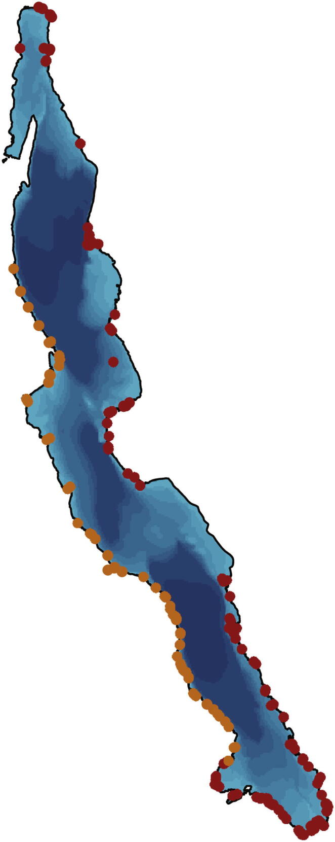
Map of Lake Tanganyika with indicated localities visited for collection and diving activities. Orange circles represent sites visited before 1998 by only one author (HHB), red circles indicate locations sampled between 2007 and 2018 by all authors. Darker areas in the lake illustrate the three sub-basins of Lake Tanganyika. (For interpretation of the references to colour in this figure legend, the reader is referred to the web version of this article.)