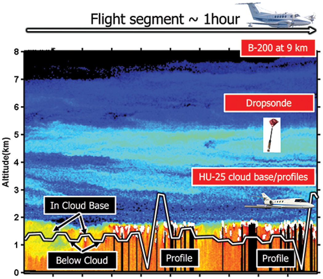
Fig. 9.

A representative hour of an ACTIVATE flight to efficiently capture data needed for calculations of aerosol–cloud–meteorology interactions. The B-200 and HU-25 flight altitudes are overlaid on an image showing aerosol and cloud backscatter measured by HSRL-1 (an earlier generation of HSRL-2) over the southwest Atlantic Ocean on 23 May 2007 during a CALIOP validation flight. The B-200 has a constant nominal flight altitude of 9 km while the HU-25 conducts boundary layer and cloud sampling between 0.15 and 3 km. Coordination of both aircraft are within ~1–2 km (between aircraft tracks) and 10 min. The nominal ground speed of both aircraft flying at their respective altitudes planned for the ACTIVATE patterns is 120 m s–1.
