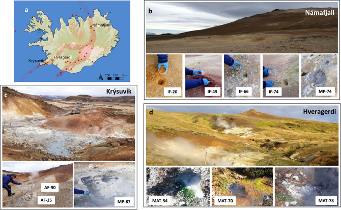
Figure 1.
Icelandic geothermal areas investigated in this work (a) throughout the Mid-Atlantic Ridge (red dashed area with red triangles representing volcanoes) traversing the island; (b) Námafjall, (c) Krýsuvík, and (d) Hvragerdi. The map in (a) was built with ArcGIS Desktop 10.8 (https://desktop.arcgis.com/). Hydrothermal samples include four inactive fumaroles (IF) and one mud pot (MP) in Námafjall; two active fumaroles (AF) and one MP in Krýsuvík, and three hot spring biofilms (MAT) in Hveragerdi. The numbers in the sample names indicate the discrete temperature recorded in situ at the time of collection.

