Figure 1.

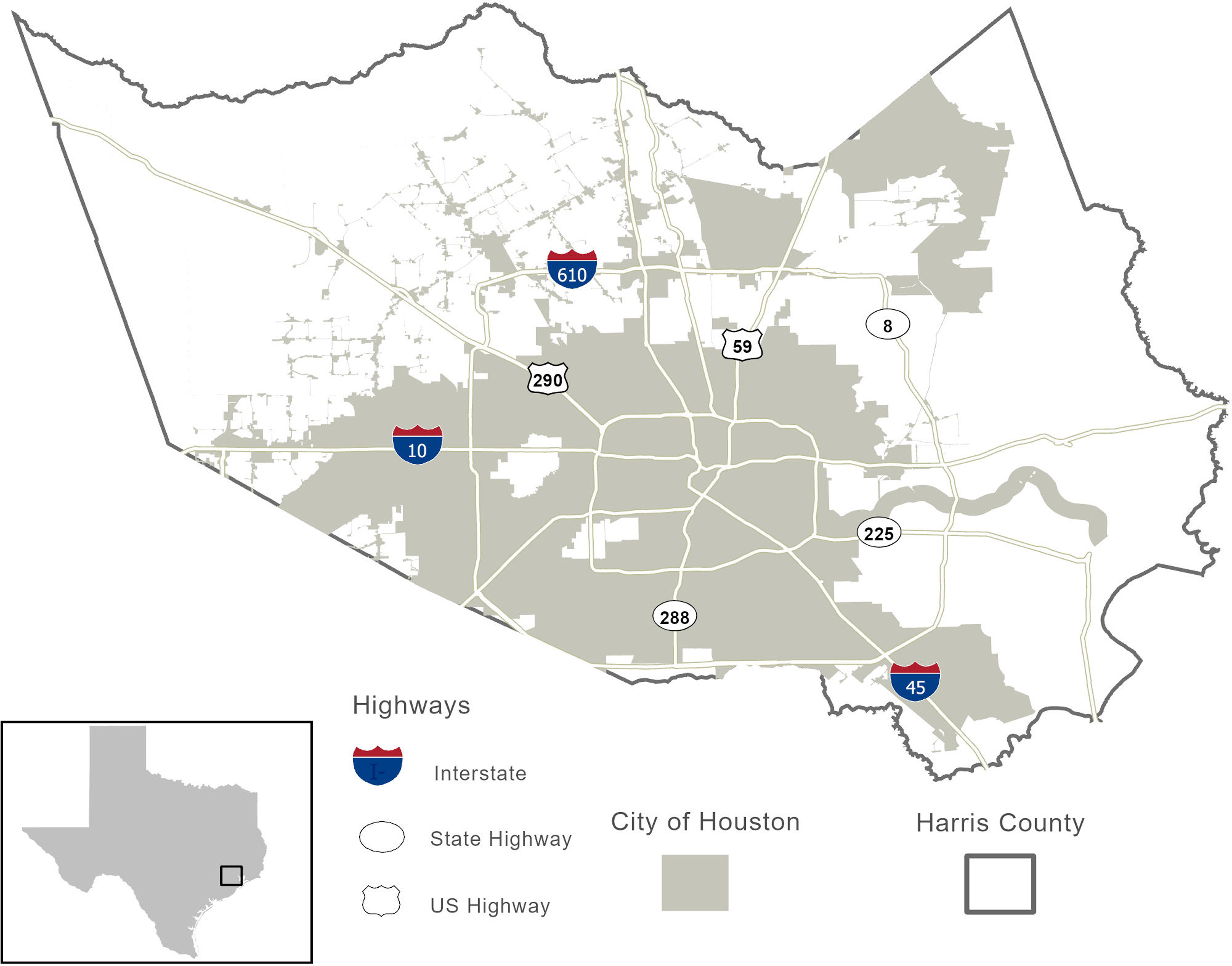
Overall map of our study area. Analyses were performed separately for all of Harris County and for City of Houston residents.

Overall map of our study area. Analyses were performed separately for all of Harris County and for City of Houston residents.