Figure 3.

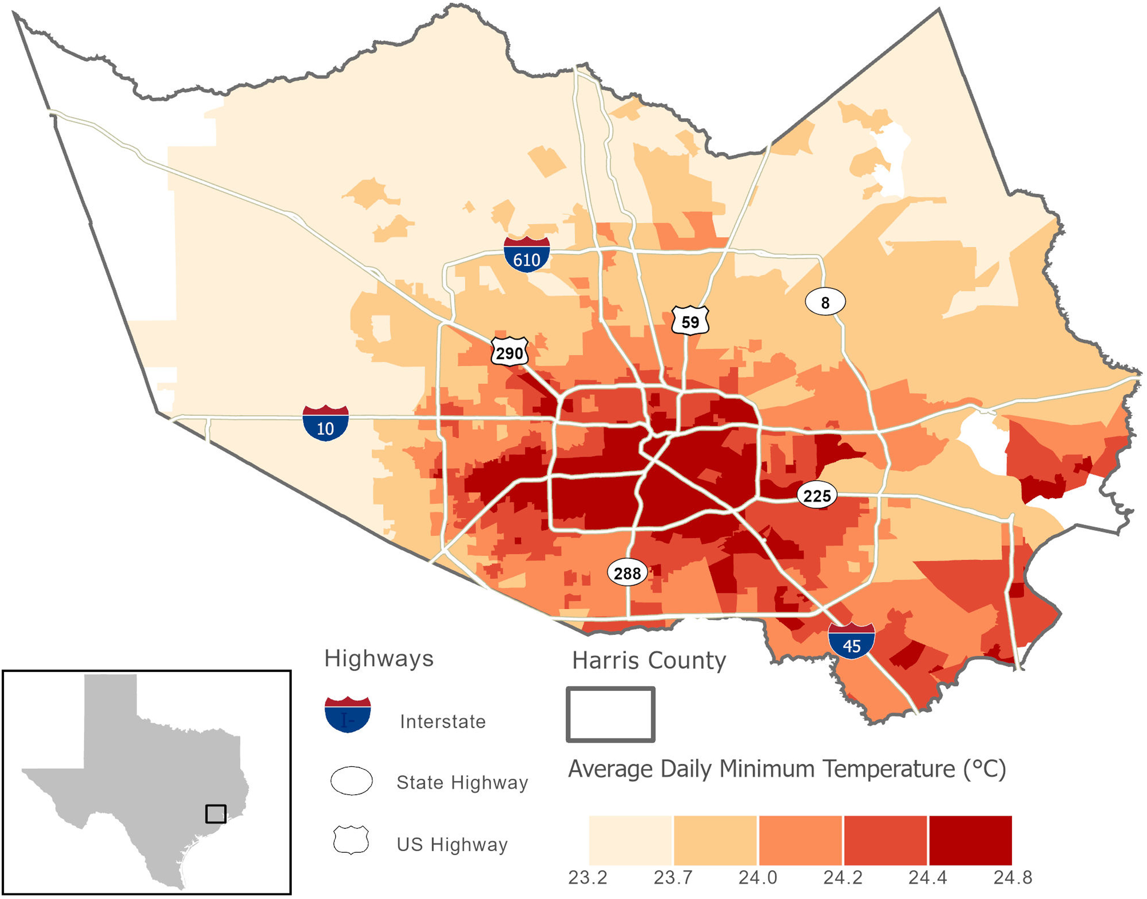
Average daily minimum ambient temperature across U.S. Census block groups in Houston (June–September, 2000–2015). HRLDAS weather data were not available in the blank areas. HRLDAS, High-Resolution Land Data Assimilation System.

Average daily minimum ambient temperature across U.S. Census block groups in Houston (June–September, 2000–2015). HRLDAS weather data were not available in the blank areas. HRLDAS, High-Resolution Land Data Assimilation System.