FIGURE A1.

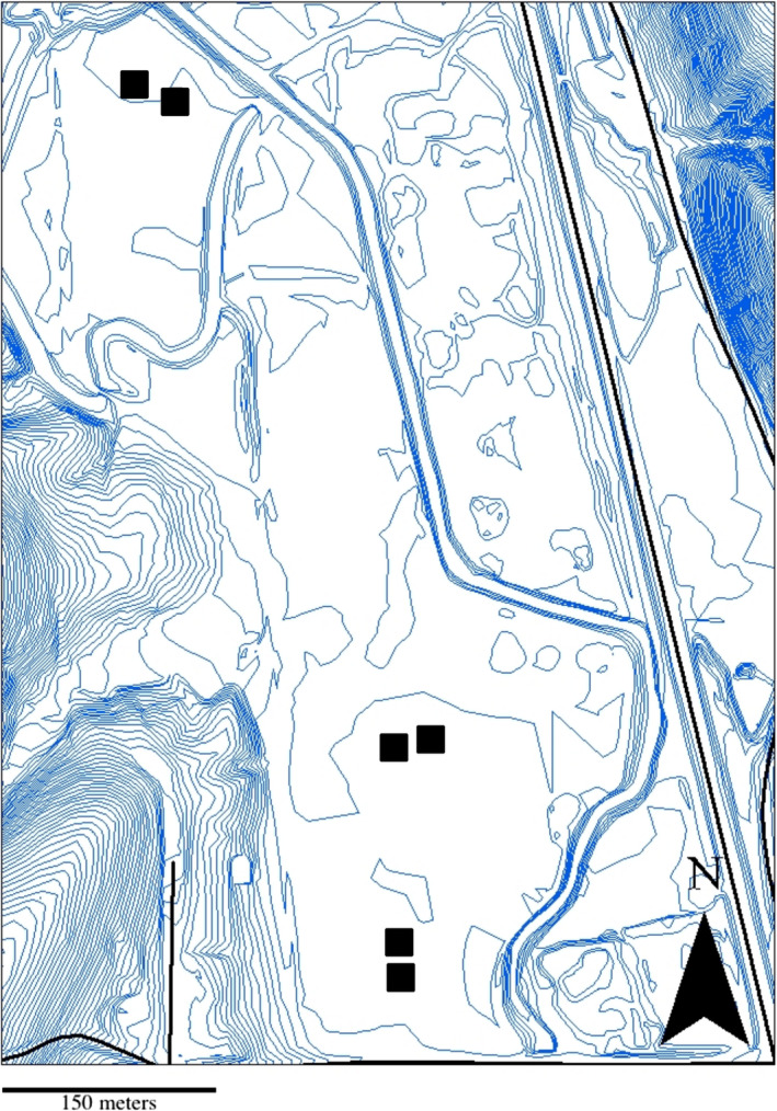
Topographic map showing the layout of the common garden plots at Bayles Rd., Bloomington, IN. Black squares show the location of the six replicated plots. Blue contour lines indicate 0.61m elevational changes

Topographic map showing the layout of the common garden plots at Bayles Rd., Bloomington, IN. Black squares show the location of the six replicated plots. Blue contour lines indicate 0.61m elevational changes