Figure 1.
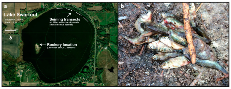
Lake Swartout. Panel (a) shows a satellite image of Lake Swartout and surrounding land usage. Seining transects from the collection of juvenile carp and native species and the Phalacrocorax auritus (DCCO) rookery site are denoted. Bathymetry contours are in 1.5 m increments. Panel (b) shows an image of juvenile carp in a DCCO regurgitant sample.

