
Fig 1. Map of the states and regions for the NAHMS Goat 2019 study.
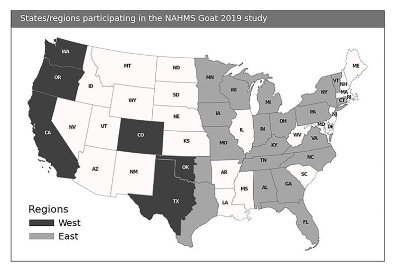
To reflect climate variation and production management, Texas and Oklahoma were divided between the east and west regions roughly on a line corresponding to north-south Interstate 35. The western halves of the states were included in the west region, and the eastern halves were included in the east region. The used and displayed data in that map is the 20m US County boundaries shapefile and are available here: Cartographic Boundary Shapefiles (census.gov).