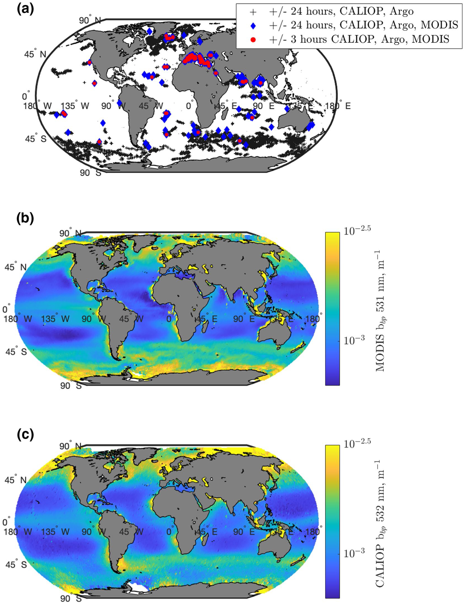
Figure 2.

(a). Map of locations with coinciding Argo floats and either CALIOP observations (black plus) or CALIOP and MODIS L2 imagery within 24 h (blue, n = 261) or 3 h (red, n = 93). (b). Annually averaged MODIS bbp (531 nm, m−1), constructed from L3 9 km files binned to a 1-degree grid. (c). Annually averaged CALIOP bbp (532 nm, m−1), constructed from CALIOP observations binned to a 1-degree grid. CALIOP, Cloud-Aerosol Lidar with Orthogonal Polarization; MODIS, Moderate Resolution Imaging Spectroradiometer.
