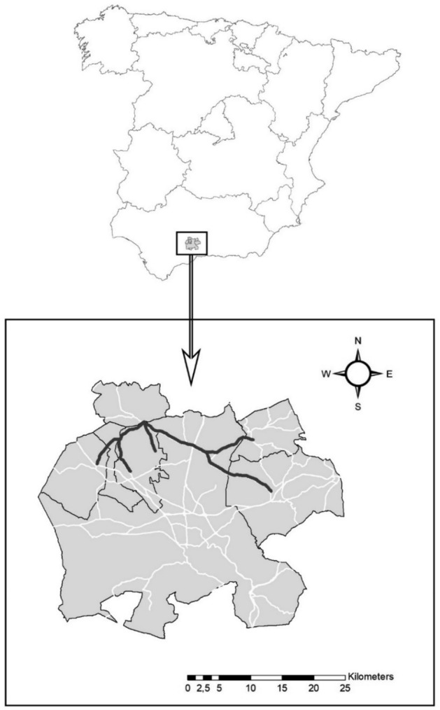
Figure 1.

Location of the study area in northeast Malaga province (southern Spain), showing the stretches of road sampled for hare roadkills (thick black lines; 55.7 km) in relation to the total road network in the study area (white lines). Map created with ArcGis 9.3 (ESRI 2008). Datasets from Instituto de Estadística y Cartografía de Andalucía, Junta de Andalucía. Road network and administrative boundaries (https://www.ideandalucia.es/catalogo/inspire/srv/spa/catalog.search#/home).
