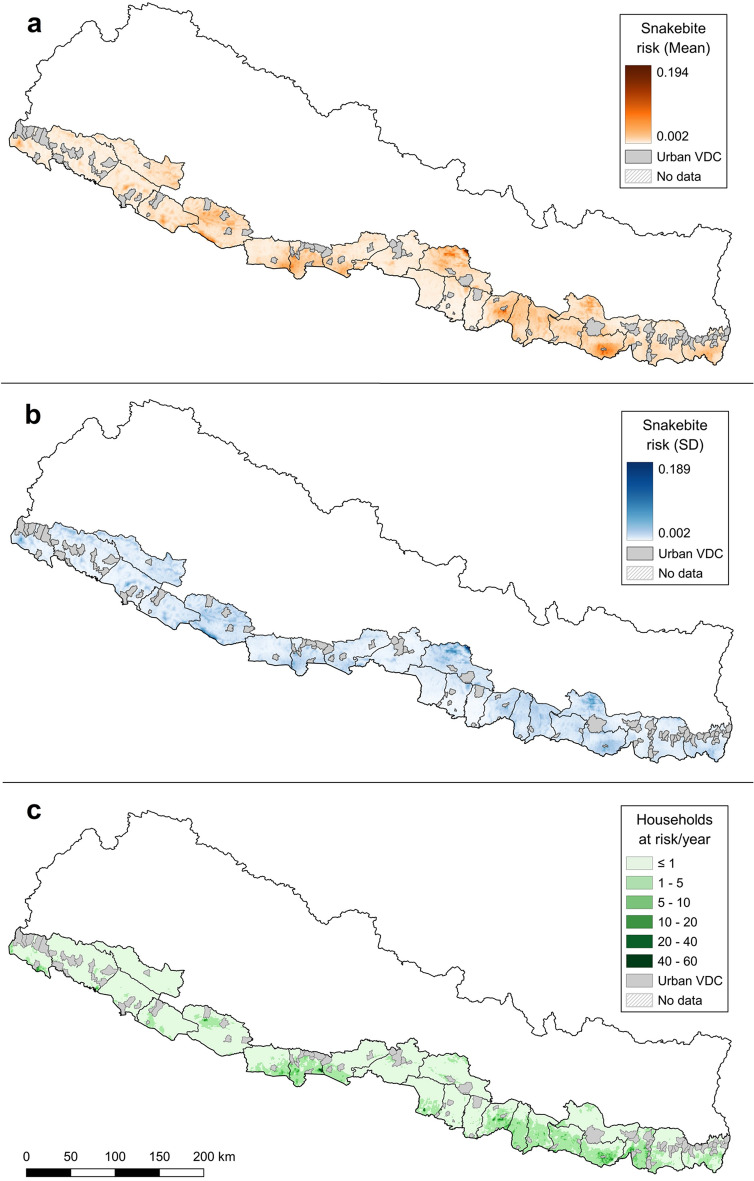
Figure 1.
(a) Mean posterior distribution, (b) uncertainty (SD) of the snakebite risk for the Terai at 1 km2 resolution, and (c) estimated number of households at risk of snakebite per 1 km2/year, based on the WorldPop UN-adjusted population estimates for Nepal in 2018.
(Source: vector map and administrative divisions from https://gadm.org/download_country_v3.html, projected in the local WGS 84/UTM zone 45 N coordinate reference system in QGIS 3.18.3 (https://qgis.org/en/site/)).

