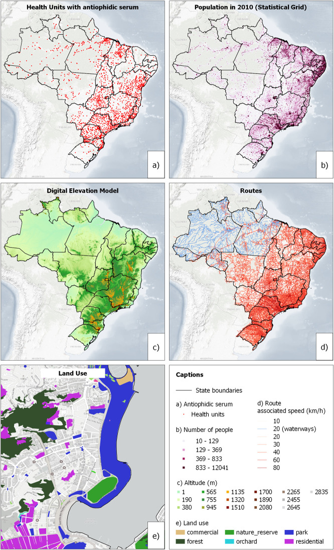
Fig 1.
Health Facilities (a), Statistical Grid (b), Digital Elevation Model (c), Routes (d) and example of Land Use (e). Source: Health Facilities: Toxic-Pharmacological Information System (SINITOX), Statistical Grid: IBGE, Digital Elevation Model: NASA, Background: U.S. Geological Survey/National Geospatial Program, and Transportation and Land Use Routes: Open Street Map.

