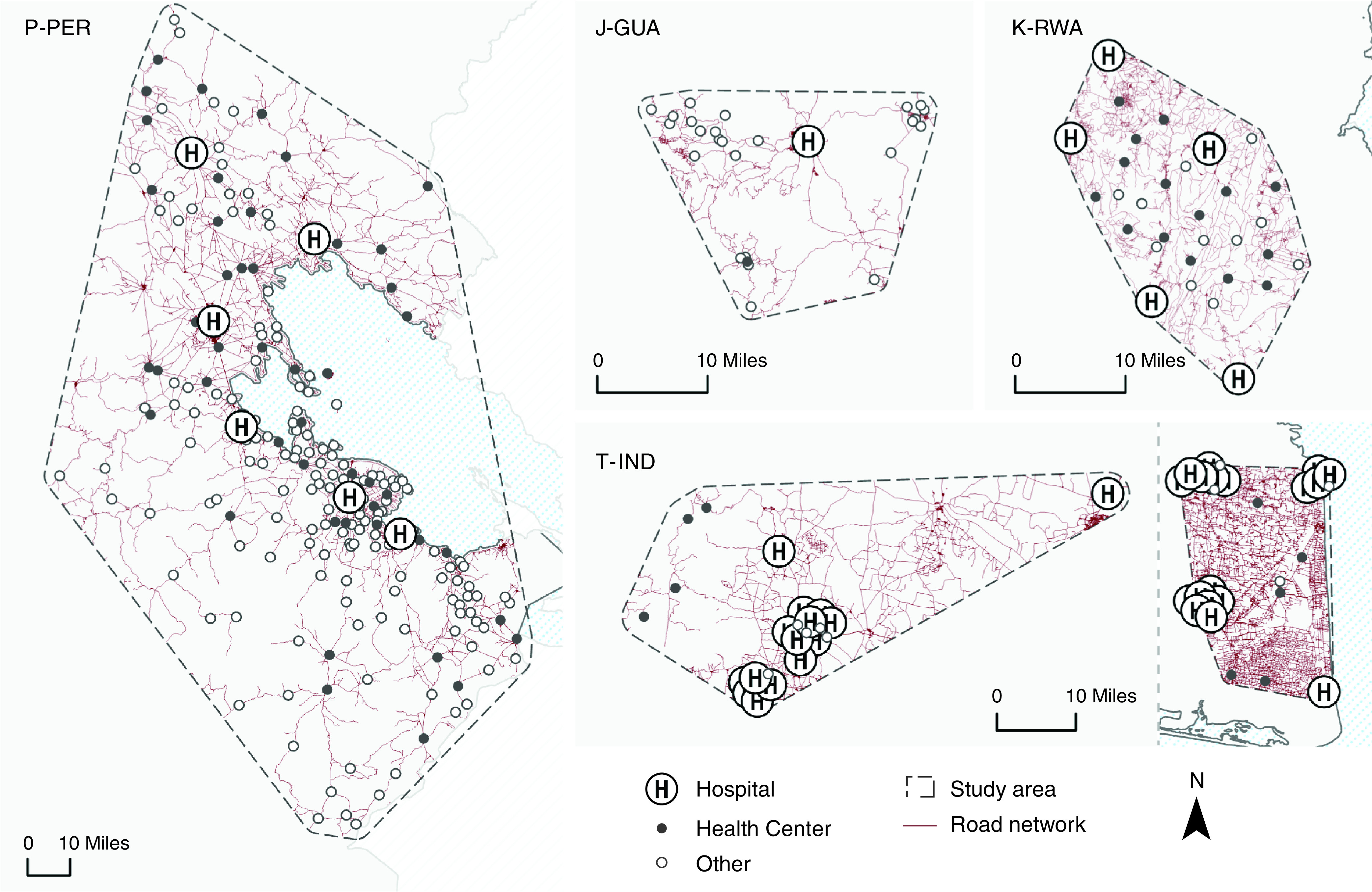
Figure 1.

Healthcare facility locations and road networks in the study boundaries in J-GUA, P-PER, K-RWA, and T-IND. Each map displays the healthcare facilities by type and road network within the boundaries of each study site. Maps are not drawn to scale; they are sized to optimize the display of facility distribution at each site. Facility locations in India were offset with a minimum separation of 2.5 km so that facilities in very close proximity could be distinguished. Facility type (i.e., hospital, health center, and other) is based on country-specific designations. The “other” category includes health posts, community health centers, and private clinics. The T-IND study site comprises two separate sites in Villupuram (left) and Nagapattinam (right). J-GUA = Jalapa, Guatemala; K-RWA = Kayonza, Rwanda; P-PER = Puno, Peru; T-IND = Tamil Nadu, India.
