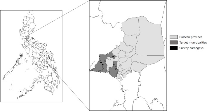
Fig 1. Maps Indicating the Location of Bulacan in the Philippines.
Bulacan (gray), target municipalities (dark gray), selected municipalities (black). Provincial and municipal boundary data were taken from the United Nations Office for the Coordination of Human Affairs (OCHA). (https://data.humdata.org/dataset/philippines-administrative-levels-0-to-3).

