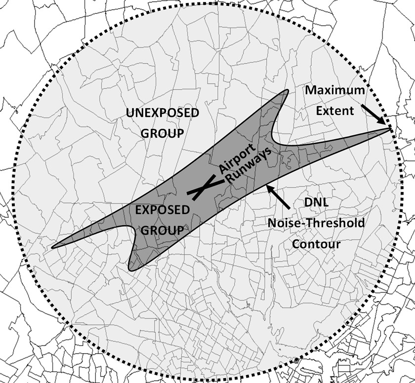
Figure 2.
Example of a noise contour threshold around a fictional airport and assignment of exposed and unexposed block groups (i.e., underlying polygons). The maximum extent is defined as the smallest radius of a circle centered on the airport that encompasses the entire noise contour. Block groups with of their area within the noise contour are assigned to the exposed group, and block groups not in the exposed group but with of their area within the maximum extent are assigned to unexposed group. Block group layer from ArcMap 10.6. Note: DNL, day–night average sound level.

