Fig. 1.

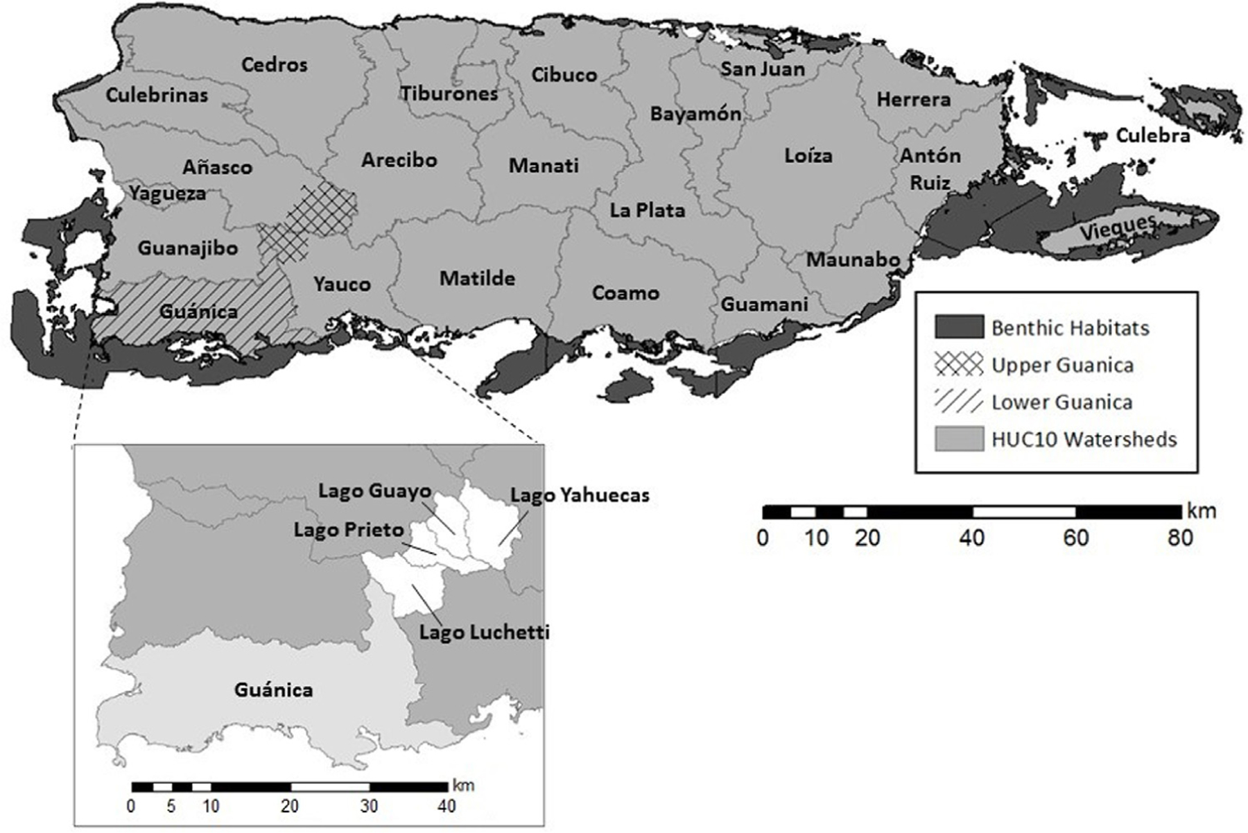
The watersheds of Puerto Rico, and the upper and lower portions of the Guánica Bay study area. Inset shows the four sub-watersheds comprising the Upper Guánica Bay study area.

The watersheds of Puerto Rico, and the upper and lower portions of the Guánica Bay study area. Inset shows the four sub-watersheds comprising the Upper Guánica Bay study area.