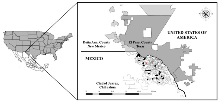
Figure 8.
Geographic location of the binational transboundary metropolitan area between Mexico (in white with divisions: Juarez City, Chihuahua) and the United States of America (in dark gray: El Paso, County, Texas; in soft gray: Doña Ana, County, New Mexico). In Juarez City, the red star indicates the MARC, while the black areas show the locations of the neighborhoods where the VCs were located.

