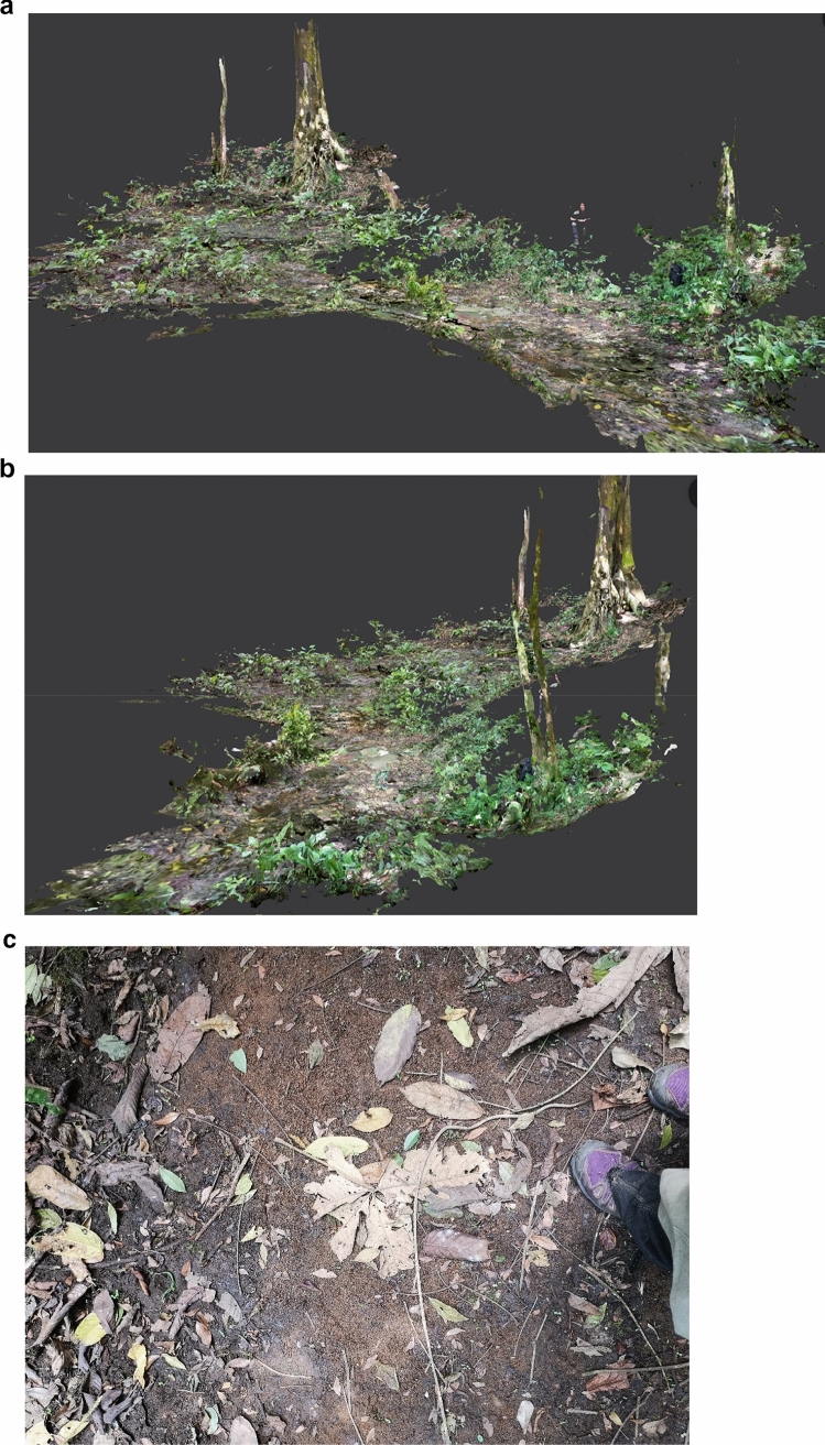
Fig. 1a–c.
Light detection and ranging scan of the water hole area from two perspectives. a Overview of the water hole; camera trap 1 location is the small tree on the right. Camera trap 2 locations varied around the area of water below the base of the large tree, centre-left. b Perspective along the seasonal riverbed, camera trap 1 location is the tree in the foreground. c Photograph showing the two soil types found at the water hole in a dried-out section of the seasonal riverbed; the reddish sandy/gravel substrate in the centre is surrounded by the darker soil/loamy mud

