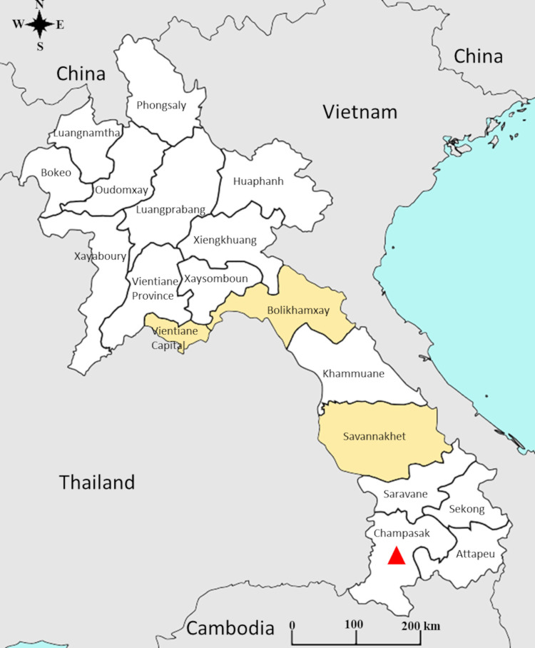
Fig 1. Geographical location of chikungunya cases, at the province level, in Lao PDR.
Data based on the analysis of the samples collected by the Institut Pasteur du Laos arbovirus surveillance network between 2012 and 2020. The provinces indicated in yellow correspond to those where at least one sample was found positive for chikungunya virus during the study period (2014–2020). The red triangle indicates the province where the chikungunya outbreak occurred in 2012–2013.

