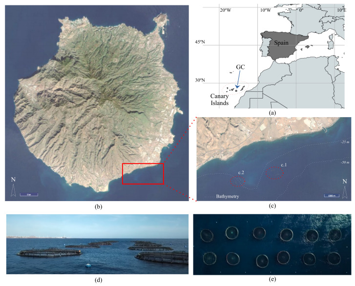
Figure 7.
The study location that was used to evaluate the proposed MU: (a) a map of the Canary Islands in the Atlantic Ocean; (b,c) the satellite photos of Gran Canaria and the location of the offshore aquaculture facility in the south of GC ((c.1) the Aquanaria S.L. facility; (c.2) anther offshore aquaculture infrastructure), respectively; (d) a lateral view and (e) a top view of one of the 2 × 6 cage structure arrays that were used in our experiments.

