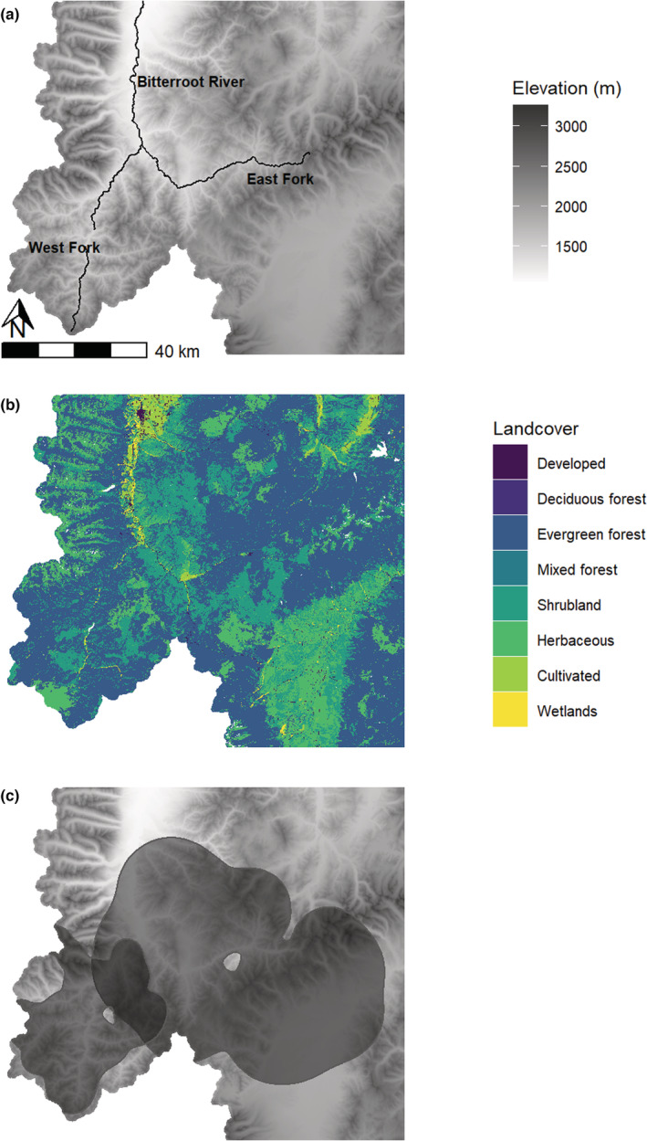
FIGURE 1.

The study area was located in west‐Central Montana along the bitterroot river, including its east and west forks, and had high variation in elevation (panel a). Landcover type was dominated by forest and shrublands (panel b), based on the 2016 National Landcover Database classification scheme. Spatial locations, body fat and pregnancy information came from two populations (east fork and west fork) populations in the study area (panel c, showing the 99% contour of the utilization distribution estimated from GPS locations).
