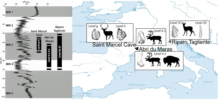
Fig 1. Location of the studied sites with the hunted species and an illustration of the lithic culture.
Drawing by M. Arzarello, R. Gilles and A. Theodoropoulou. The map was created using ArcGIS (ArcMap 10.4), and uses Natural Earth vector map data, (https://www.naturalearthdata.com/downloads/).

