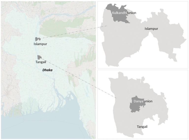
Figure 1.
Location map of the study areas: Danya Union in Tangail Sadar Upazila, Tangail District, and Kulkandi Union in Islampur Upazila, Jamalpu District (background image source: Openstreet). Union, Upazila, and District represent, respectively, the fourth, third, and second administrative layers of the government of Bangladesh.

