
Figure 2.
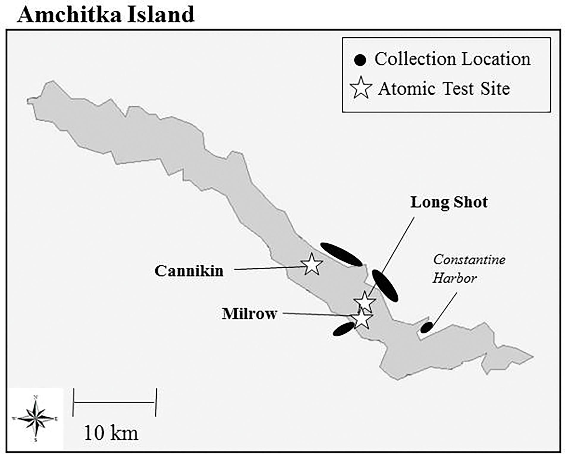
Map of Amchitka Island identifying the three underground nuclear test sites, and the adjacent coastal areas where fish were collected to assess possible contamination from the tests.
Official websites use .gov
A
.gov website belongs to an official
government organization in the United States.
Secure .gov websites use HTTPS
A lock (
) or https:// means you've safely
connected to the .gov website. Share sensitive
information only on official, secure websites.
Map of Amchitka Island identifying the three underground nuclear test sites, and the adjacent coastal areas where fish were collected to assess possible contamination from the tests.