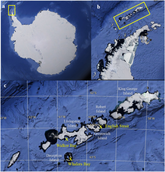
Figure 1.
Satellite images of the study region from which samples were obtained, from Google Earth (https://www.google.com.br/maps/) Version 9.174.0.2 based on data from SIO, NOAA and U.S. Navy. (a) Antarctica, with the Antarctic Peninsula indicated within the yellow rectangle, (b) South Shetland Islands indicated within yellow rectangle, (c) sampling locations at Walker Bay (Livingston Island), Whalers Bay (Deception Island) and English Strait. Satellite images a and b obtained from Google Earth Pro, 2019 (https://earth.google.com).

